Module 2: Understanding Flood Risk
Section outline
-
 Flood risk is an assessment of the potential risks associated with flooding. Flood risk assessment is complex and takes into account a variety of elements such as geographic location, climate conditions, and previous flood patterns. To promote safety and efficiency, many authorities have developed standards, codes, and laws for flood response, building, and infrastructure. Identifying an area's flood risk is critical for proper planning and relocation activities. This module will look at how to assess flood risk and what role these agencies play in the process.
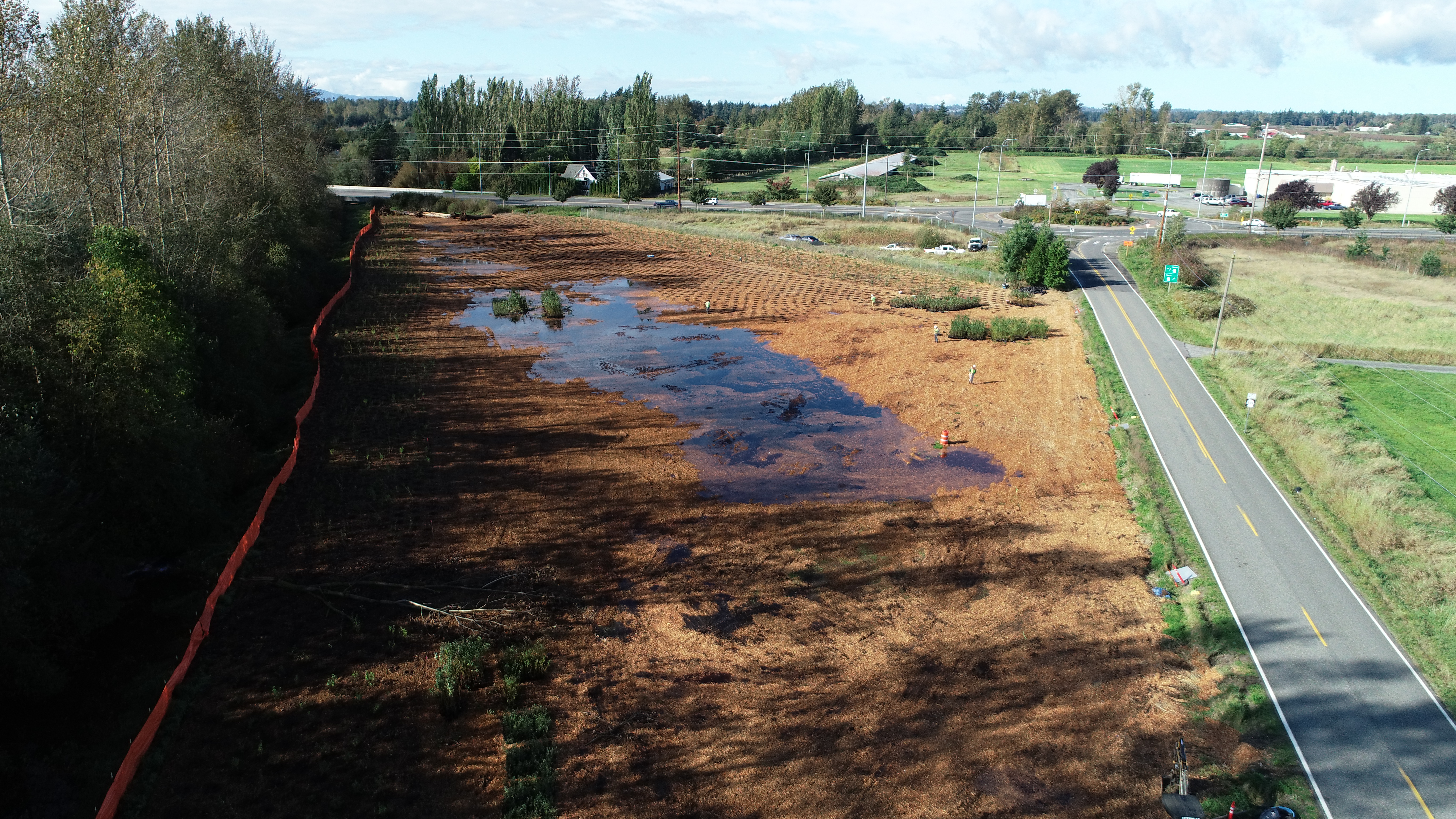
 Image: Restoring Fourmile Creek to its natural floodplain along State Route 539, Washington State. Source: "Fourmile Creek mitigation site" by Washington State Dept of Transportation licensed CC BY-NC-ND 2.0
Upon completion of this module, you will be able to:
- Explain how flood risk is determined (Course Objective 2)
- Identify the role of different agencies in establishing flood guidelines and building codes. (Course Objectives 4, 5)
- Discuss the methods used to assess flood zones and the impacts they have on infrastructure. (Course Objectives 1, 3, 5)
To achieve these objectives:
- Read the Module Two Introduction
- Read Chapter Two in Flood Mitigation
- Complete the Module Two Discussion Board
- Complete the Module Two Assignment
Note the check boxes to the right that help you track your progress: some are automatic, and some are manual.
Module Pressbooks Resources and Activities
You will find the following resources and activities in this module at the Pressbooks website. Click on the links below to access or complete each item.
Background Colour
Font Face
Font Kerning
Font Size
Image Visibility
Letter Spacing
Line Height
Link Highlight
Text Colour